
Georgia to see multiple chances for snow in the next week
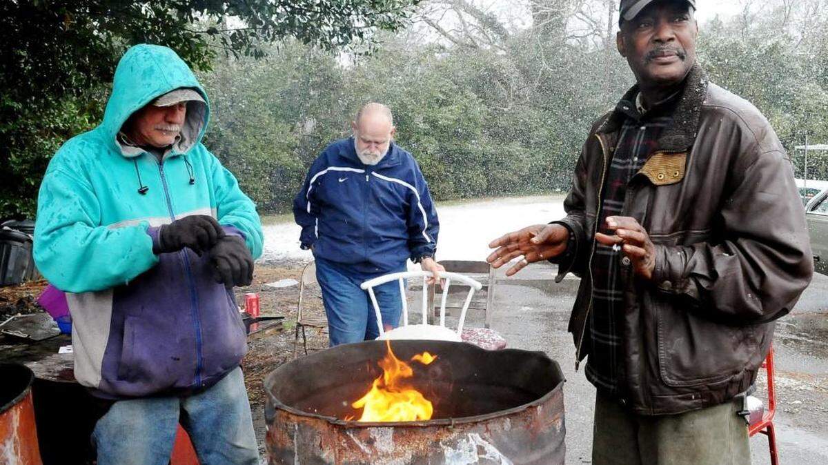
Weather forecasters are using Georgia's dreaded four-letter word: snow.
Computer models show interesting conditions and scenarios that threaten three bouts of wintry weather for the Peach State over the next week.
The National Weather Service in Peachtree City is not ruling out the possibility of a wintry mix of rain and snow for extreme north Georgia into Thursday.
Morning low temperatures are expected to stay in the upper 30s Thursday in Middle Georgia, which means all rain for the midstate.
By the week's end, another upper level trough is complicating the forecast.
With a cold air mass in place, light snow and flurries are possible in the north Georgia mountains early Friday into Saturday morning as the temperature drops to the upper 20s as far south as Bibb County.
If it's cold enough when the precipitation arrives, light snow is possible as far south as Columbus and Macon before 1 a.m. Saturday, but it wouldn't last long.
Another weather system approaches late Tuesday into Wednesday, which could produce more winter weather in northern sections of the state.
The forecast is subject to change, but the National Weather Service includes a mention of possible snow heading into Wednesday morning.
Liz Fabian: 478-744-4303; @liz_lines
This story was originally published December 6, 2017 at 12:32 PM with the headline "Georgia to see multiple chances for snow in the next week."